Surveying is the technique for accurately determining the position of points. These points are often used to establish land maps and boundaries for ownership or other purposes required by law, such as property sales. Surveying is also done to calculate distances, angle measurement, leveling and position. Surveyors use theodolites, compasses, GPS receivers, prisms, 3D scanners, radios, handheld tablets, digital levels, and other types of gear.
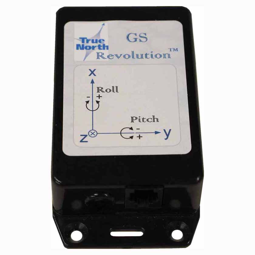
Revolution compasses are used by surveyors due to their accuracy, ruggedness and low power requirements. The Revolution Upgrade and Revolution LP are the preferred models for surveyors.
Receive A Free Quote


